Spatial AI for the built world
Spatial AI that understands buildings as they're actually built.
Inform turns an everyday phone scan into a structured, trusted record of a building: rooms, walls, measurements and images that are machine-readable and traceable back to the capture.
Why we build it: decisions about buildings should be made on facts, not guesswork.
Available now: Inform Scan for floor plans and GLA measurement · Cortex for property data structured to UAD 3.6 (early access)
The problem
The built world is still unreadable to machines.
Buildings are where we live, work and invest, and decisions about them should be made on facts. Yet what we know about a building comes from plans that don't match what was built. Every party re-measures it from scratch, and the results end up scattered across PDFs and photos, with little proof of when or how they were captured. Even a point cloud only shows where surfaces are, not what they are or how they relate.
Plans aren't reality
Drawings and old records show how a building was meant to be, not how it was built or how it has changed.
Measured again and again
Each party measures the same building from scratch, and the results rarely agree.
Hard to verify
There's little evidence of when, where and how the facts were captured.
Our approach
From geometry to understanding.
- 01
Layer 01
Perceive
Capture from the devices people already carry. Our approach is sensor-agnostic, starting with the phone.
- 02
Layer 02
Reconstruct
Turn raw captures into clean, measured geometry.
- 03
Layer 03
Understand
Computer vision and machine learning identify rooms, building components and conditions. Language models classify each element and give it meaning.
- 04
Layer 04
Structure
Deliver a building record: machine-readable, standards-aligned and traceable back to its source. Each new scan adds to it, so nobody starts over.
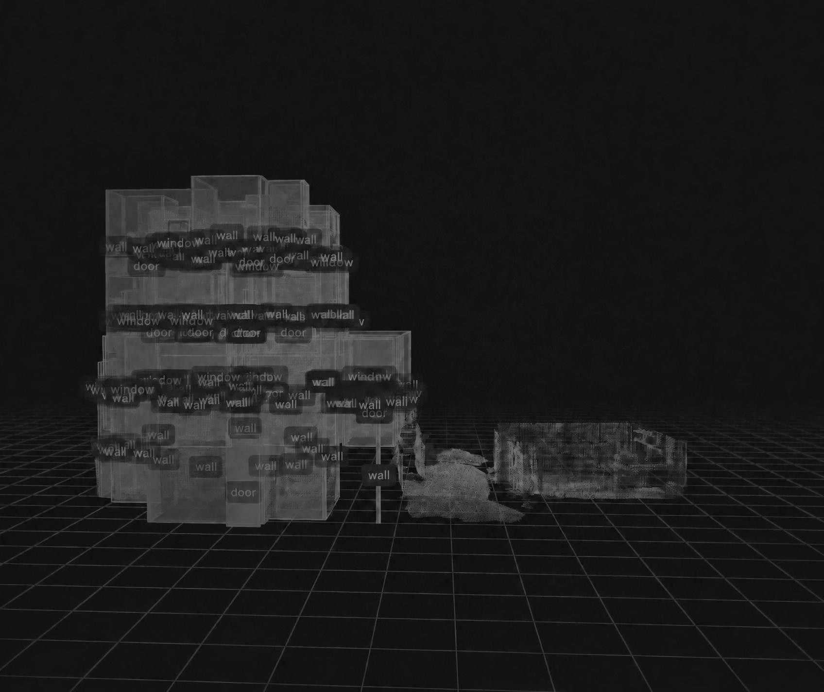
Perceive → Structure
Watch a scan become structured data.
Each plan starts as points captured on a phone, becomes dense geometry, and resolves into a finished, measured floor plan.
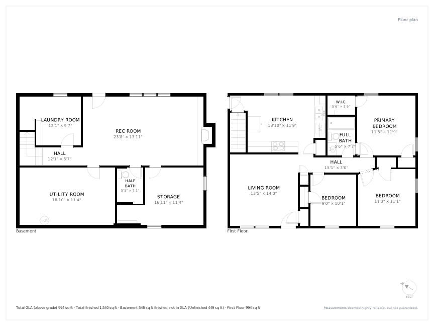
Ranch with rec room
With dimensions
Ranch with rec room. With dimensions.
Principles
Principles for spatial data.
As built, not as planned.
Data should describe a building as it actually is today, not as it was drawn. Every renovation changes it.
Semantic, not just geometric.
Data should say what a space is, not only where its surfaces are.
Sensor-agnostic.
The data layer shouldn't depend on any single device. Today it's a short walk-through with a phone; tomorrow it's whatever sensor is in the room.
Trustworthy by design.
Every data point carries its provenance, nothing is quietly changed, and outputs align with the standards the industry relies on, such as ANSI Z765-2021 and UAD 3.6.
Neutral and owned.
Inform is infrastructure, not a gatekeeper. Customers own their data.
Where we start
Starting with residential real estate.
Every home sale, refinance and appraisal depends on knowing what a property is and how big it is. Today, real estate marketing and appraisal teams scan a home with a phone and get measurements they can stand behind. A scan made for one purpose can serve the next, so the buyer, the lender and the insurer start from the same facts.
Where we're going
Toward a trusted record of every building.
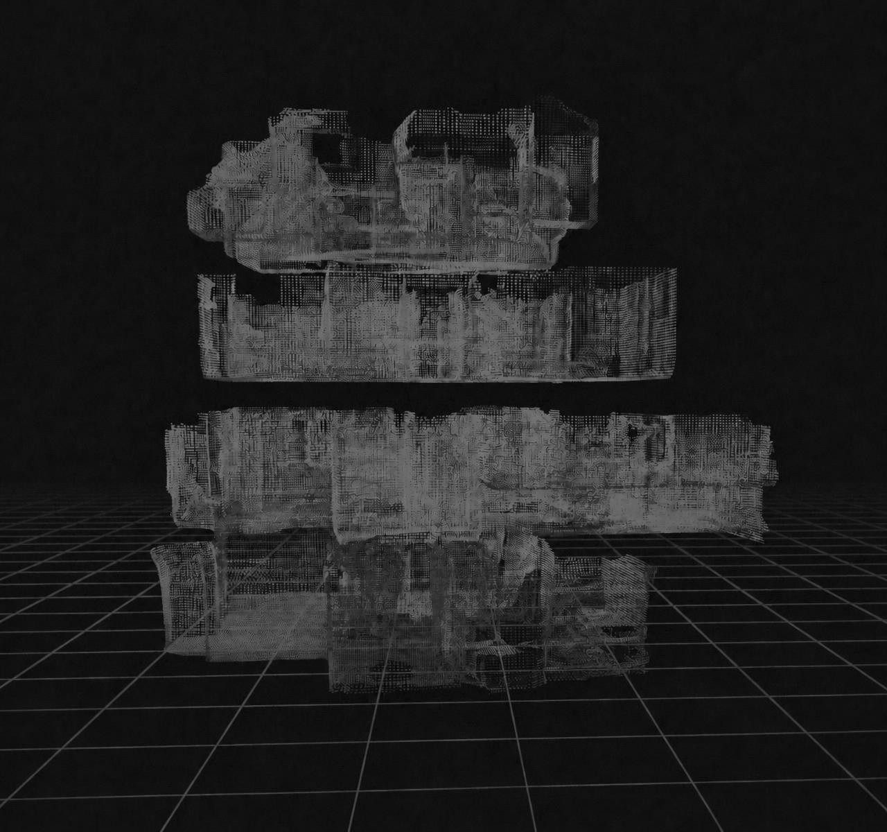
Every building should have a trusted record that stays true over its lifetime: one record of the building as it was actually built, growing with every scan and relied on by everyone who works with it. The same spatial AI that understands a kitchen can understand an office, a warehouse or a city block, and give the machines that work in them the context they need.
Room
Home
Building
City block
Team and research
Built in Finland, grounded in research.
A team of 23 from 9 nationalities, led by founder and CEO Harri Pesola, a repeat founder with a prior exit in spatial technology.
Meet the teamScientific Advisory Board
Viktor Larsson
Lund University
Juho Kannala
Aalto University
Esa Rahtu
Tampere University
See a real scan become a building record.
In 30 minutes, we'll take a real phone scan from capture to a finished floor plan, GLA measurement and property data structured to UAD 3.6.